 On April 9, 1722, French explorer Jean-Baptiste Bénard de La Harpe rounded the bend of the Arkansas River and saw La Petite Roche and Le Rocher Français. He had entered the mouth of the Arkansas River on February 27 after traveling up the Mississippi River from New Orleans.
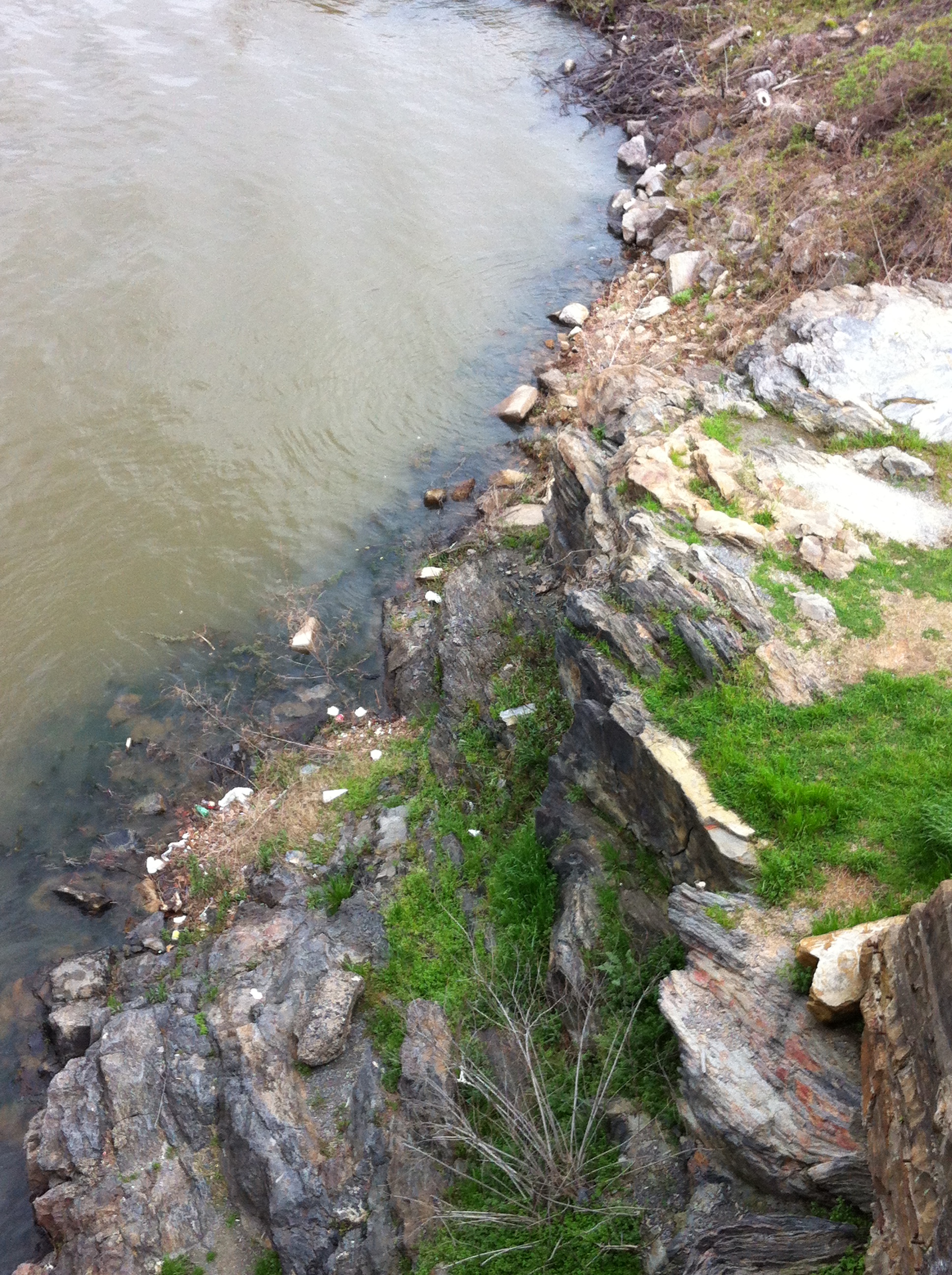
Though La Harpe and his expedition are the first Europeans documented to have seen La Petite Roche, the outcropping of rocks was well-known to the Quapaw Indians in the area. The outcropping jutted out in the Arkansas River and created a natural harbor which provided a perfect place for boats to land.
The rock outcropping is the first one visible along the banks of the Arkansas River. It marks the place where the Mississippi Delta meets the Ouachita Mountains. Geologists now believe that the Little Rock is not the same type of rock as the Ouachita Mountains and more closely matches the composition and age of mountains in the western US.
In 1813, William Lewis became the first European settler to live near La Petite Roche but only stayed a few months. Speculators and trappers continued to visit the area throughout the 1810s. During that time, the outcropping became known informally as the Little Rock.
La Petite Roche had become a well-known crossing when the Arkansas Territory was established in 1819. The permanent settlement of ‘The Rock’ began in the spring of 1820, and the first building has been described as a cabin, or shanty, and was built on the bank of the river near the ‘Rock.’ In March 1820, a Post Office was established at the ‘Rock’ with the name “Little Rock.”
Over the years, La Petite Roche was altered. In 1872, Congress authorized the building of a railroad bridge. A pier for the bridge was built at the location of the La Petite Roche which caused the removal of several tons of rock. The bridge was never built. When the Junction Bridge was built in 1899, even more rock was removed in the process of erecting part of the bridge on top of the rock. It was not viewed as being disrespectful of the City’s namesake at the time. Indeed, it was viewed as a testament to the sturdiness of the rock.
In 2010, La Petite Roche plaza opened in Riverfront Park. It celebrates the history of La Petite Roche and explores its importance to various aspects of Little Rock’s history and geography.